Oaxaca and Monte Albán: A Journey Through Mesoamerican and Colonial History
The Historic Center of Oaxaca and the Archaeological Site of Monte Albán in Mexico's Oaxaca Valley showcase over 1,500 years of history, culture, and architecture. Monte Albán features ceremonial centers, terraces, and pyramids, while Oaxaca de Juárez blends Indigenous and colonial heritage.
The Historic Center of Oaxaca and Monte Albán: A Cultural and Archaeological Treasure
Nestled in the heart of Mexico's Oaxaca Valley, the Historic Center of Oaxaca and the Archaeological Site of Monte Albán form a UNESCO World Heritage site embodying over 1,500 years of history, culture, and architectural brilliance. These two distinct yet interconnected locations offer a window into Mesoamerica's pre-Hispanic civilizations, notably the Zapotecs and Mixtecs and the enduring legacy of Spanish colonial urban planning.
Monte Albán, with its grand ceremonial centers, terraces, and pyramids, stands as a testament to the ingenuity of ancient Mesoamerican civilizations. The nearby city of Oaxaca de Juárez showcases the blending of Indigenous and colonial heritage in its carefully planned streets and majestic architecture. Together, these sites preserve and reflect the rich history of the region.
Monte Albán: A Center of Zapotec and Mixtec Culture
The Rise and Flourish of Monte Albán
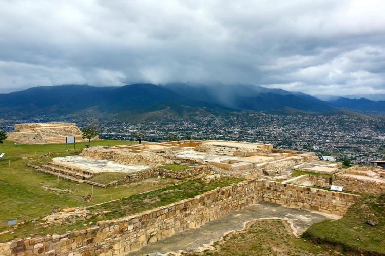
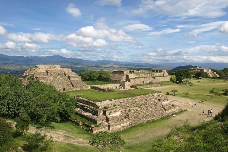
Monte Albán, perched atop a mountain in the Oaxaca Valley, served as the political, cultural, and religious center for the Zapotec civilization for over a millennium. The city's foundations were laid around 500 B.C., and it continued to thrive until its gradual abandonment around 850 A.D. Throughout its long history, Monte Albán became renowned for its impressive urban planning, monumental architecture, and artistic achievements, which are still visible today.
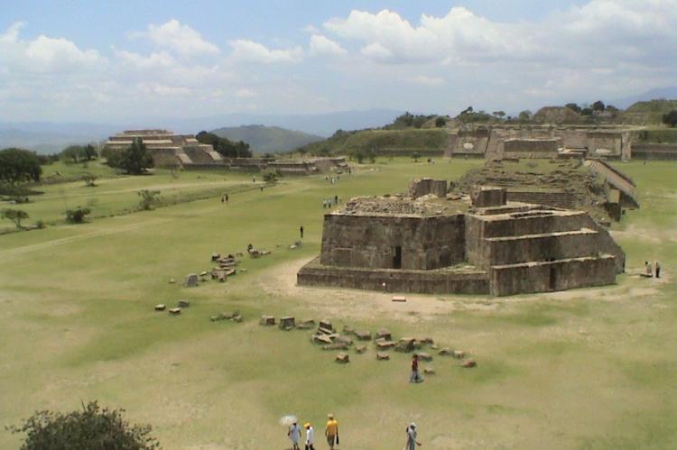
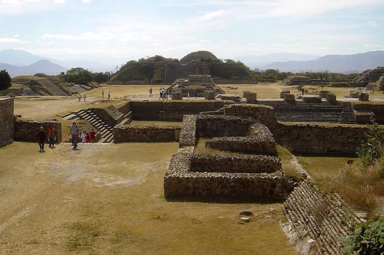
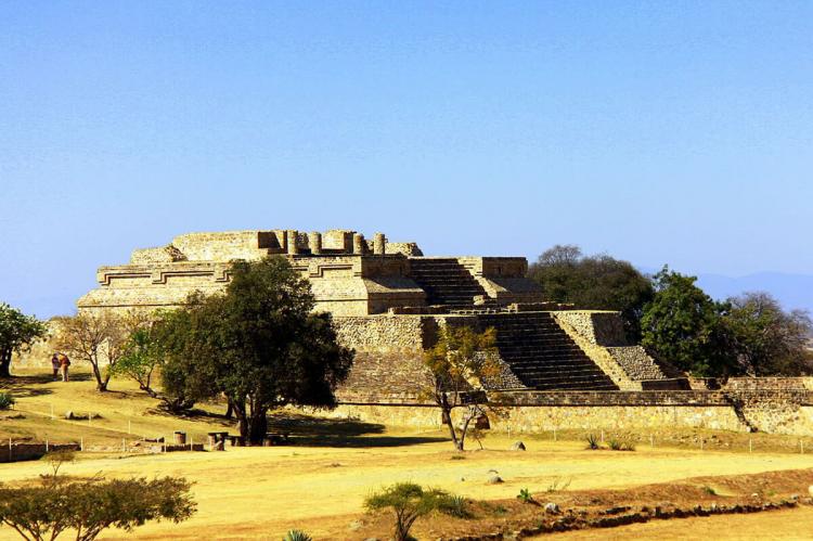
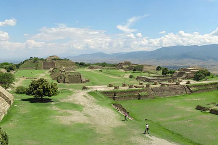
Monte Albán's construction is nothing short of remarkable. The site was carefully designed and carved out of the mountain, with terraces, dams, canals, and pyramids dominating the landscape. The city's ceremonial center features a 300-meter (984-foot) esplanade, bordered by platforms and structures that once housed temples, ball courts, and tombs. Monte Albán's north-south axis is a marvel of Mesoamerican urban design, with its layout reflecting sophisticated knowledge of astronomy, architecture, and social organization.
Monte Albán's Sacred Landscape
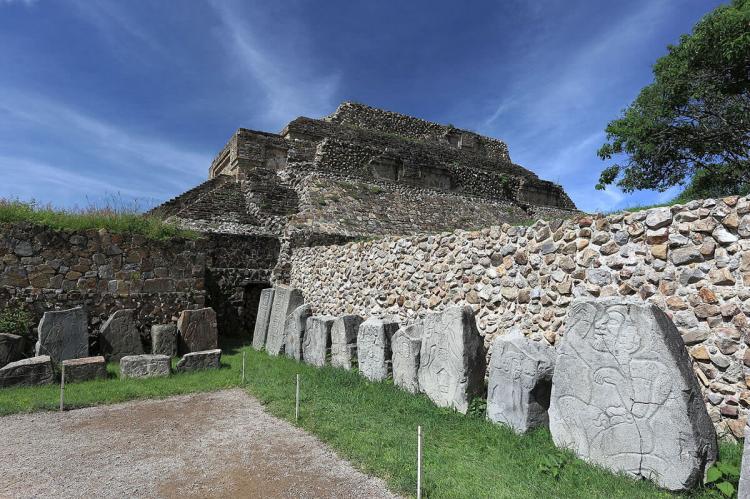
The significance of Monte Albán extends beyond its architectural grandeur; the site also holds deep spiritual and cultural meaning. The mountain and its structures were symbols of sacred topography, where the Zapotecs and later Mixtecs conducted religious ceremonies, celebrated their rulers, and memorialized their ancestors. Bas-reliefs and hieroglyphic inscriptions found at the site provide insight into the region's early written language, documenting important events and the accomplishments of its leaders.
Over time, Monte Albán evolved through distinct phases of construction and urbanization. The city's initial expansion during Monte Albán II (300 B.C. – 100 A.D.) saw the development of terraces and hydraulic systems that allowed for greater agricultural production and control of the surrounding environment. The later phases (Monte Albán IV and V) marked the site's transformation into a fortified town, reflecting shifts in political power and increased militarization before its eventual decline.
The Historic Center of Oaxaca: A Colonial Masterpiece
A City Built on Ancient Foundations
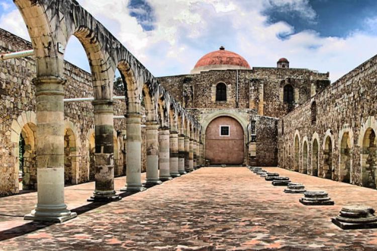
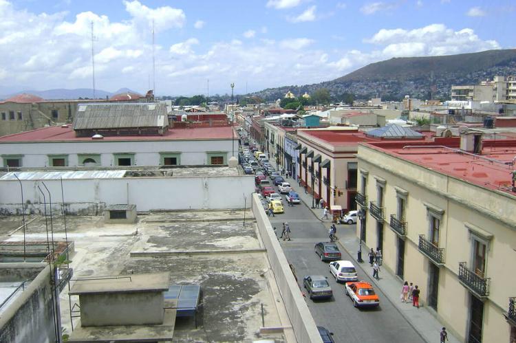
Located just a short distance from Monte Albán, the city of Oaxaca de Juárez (formerly Antequera) was founded in 1529 by Spanish colonists. Constructed on the remnants of a Zapotec settlement, Oaxaca's grid-based design is a quintessential example of Spanish colonial town planning. The city's streets were laid out in a checkerboard pattern, with a central plaza at its heart, serving as the focal point for political, social, and religious life.
The design of Oaxaca took advantage of the region's natural geography, situated between the Jalatlaco, Atoyac, and Fortin rivers. The city's orientation was carefully planned to accommodate the effects of sunlight and the area's latitude, ensuring the urban environment was functional and aesthetically pleasing.
Architectural Heritage and Resilience
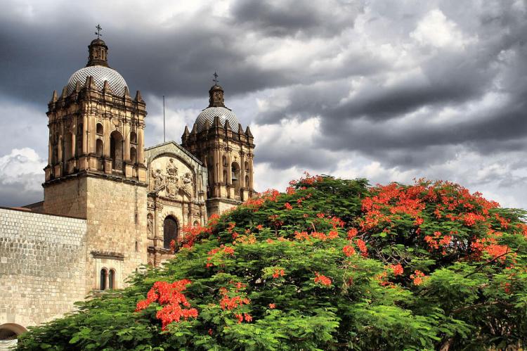
Oaxaca's architectural legacy is characterized by its robust, earthquake-resistant buildings, which were constructed to withstand the region's seismic activity. Thick stone walls, low-rise structures, and finely detailed facades define the city's skyline, showcasing a blend of Indigenous building techniques and Spanish colonial style. The city's monumental churches, such as the Cathedral of Oaxaca and the Church of Santo Domingo, exemplify the fusion of European Baroque architecture with local artistic traditions.
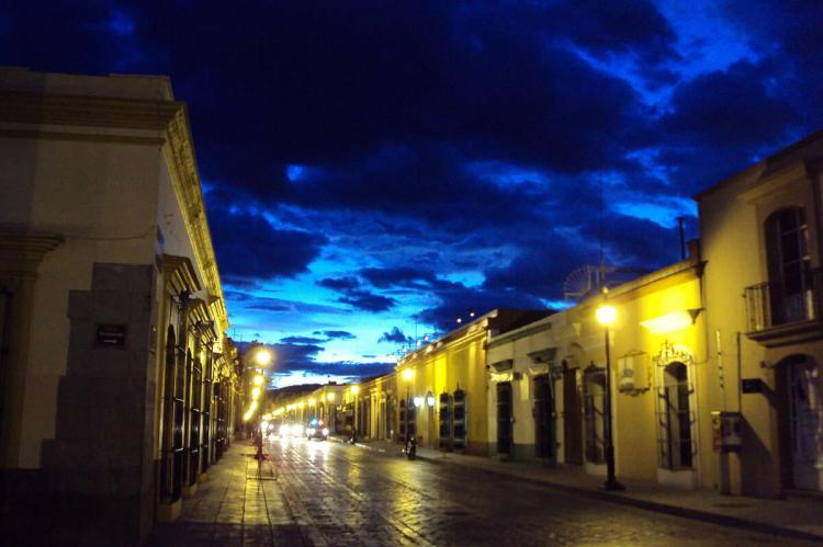
The city has preserved its colonial charm by conserving over 1,200 historic monuments, including ornate townhouses, religious edifices, and entire streets lined with well-preserved buildings. These structures stand as a testament to more than four centuries of cultural tradition, artistry, and resilience in the face of natural disasters. Oaxaca's cultural vibrancy is further enriched by the presence of its mestizo population, who continue to practice ancestral customs and maintain a rich heritage of craftsmanship, cuisine, and celebration.
Cultural and Historical Significance
A Meeting Point of Civilizations
The Historic Center of Oaxaca and Monte Albán are united not only by their geographic proximity but also by their shared cultural significance. Together, these sites illustrate the confluence of ancient Mesoamerican civilizations and Spanish colonialism, a relationship that has shaped the region's identity. While Monte Albán represents the pinnacle of Zapotec and Mixtec civilization, Oaxaca de Juárez is a living reminder of colonialism's enduring legacy and the blending of Indigenous and European traditions.
A World Heritage Site
In 1987, the Historic Center of Oaxaca and the Archaeological Site of Monte Albán were inscribed as UNESCO World Heritage sites, recognizing their outstanding universal value. Protecting these sites ensures the preservation of their historical, cultural, and architectural integrity for future generations. As a world heritage site, they continue to attract scholars, tourists, and historians, all seeking to understand the region's profound historical significance.
Conclusion
The Historic Center of Oaxaca and Monte Albán are extraordinary monuments to Mexico's rich cultural heritage. From the ancient ceremonial heart of Monte Albán, where the Zapotecs built their sacred city, to the bustling colonial streets of Oaxaca de Juárez, these sites offer an immersive journey through time. They capture the essence of human ingenuity, resilience, and the harmonious relationship between culture and environment. Together, these locations serve as a reminder of the shared history between ancient Mesoamerican civilizations and the Spanish colonial presence, and their preservation ensures that this legacy endures for future generations.
